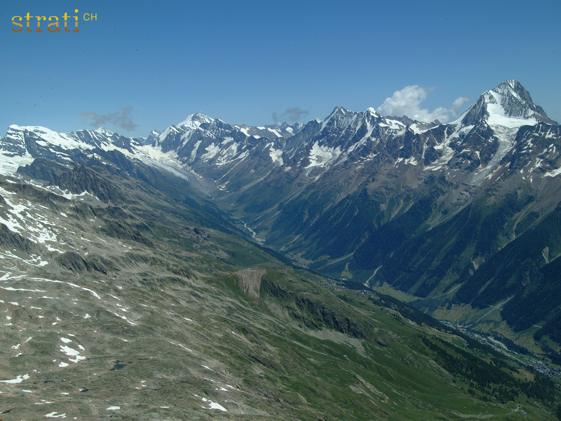
Lötschental-Gneiskomplex
Back to Aar MassifRepresentation and status
- Index
- G-L
- Color CMYK
- (0%,18%,27%,14%)
- Color RGB
- R: 250 G: 190 B: 175
- Rank
- lithostratigraphic Formation
- Validity
- Unit is in Use
- Status
- informal term
Nomenclature
- Deutsch
- Lötschental-Gneiskomplex
- Français
- Complexe gneissique du Lötschental
- Italiano
- Complesso gneissico del Lötschental
- English
- Lötschental Gneiss Complex
- Origin of the Name
- Historical Variants
-
Zone des paragneiss du Lötschental et de la couverture méridionale du granit de l'Aar = Gneiss précarbonifères (Swiderski 1919), Lötschental-Fernigen-Schieferzone, Paragneiss du Lötschental (Collet & Paréjas 1928), Lötschentaler Paragneisse = Zone des paragneiss du Lötschental (Rutsch et al. 1966), Paragneise des Lötschentales (Gigon 1981), Lötschental Gneiss Complex (Berger et al. 2017)
Age
- Age at top
-
- Paleozoic
- Age at base
-
- Precambrian
Geography
- Type area
- Lötschental (VS)
Palaenography and tectonic
-
- Pre-Variscan polycyclic basement of the Helvetic
- Paleogeography
- European continental plate
- Tectonic unit (resp. main category)
- Metamorphism
- polycyclic
References
- Definition
-
(1919) :
La partie occidentale du massif de l'Aar entre la Lonza et la Massa. Mat. Carte géol. Suisse (N.S.) 47/1, 82 pages
Rutsch et al. 1966: ZONE DES PARAGNEISS DU LÖTSCHENTAL (Palaeozoikum ; Aarmassiv): Auf seiner geologischen Karte des westlichen Aarmassives hat Swiderski (1919: 45 + Karte) die komplex aufgebaute, praeherzynische Lötschentaler Paragneiszone ausgeschieden. Es handelt sich um schiefrige Gesteine, die im allgemeinen ihren sedimentären Charakter behalten haben (phyllites plus ou moins feldspatisées, schisteuses, passant aux schistes phylliteux, schistes sériciteux, schistes chloriteux ou des talcschistes, quartzphyllades et des quartzites chloriteux, schistes quartzito-micacés feldspatiques, micaschistes à deux micas; toute une série de paragneiss à séricite, à biotite, ou chlorite, à amphibolite, cornéennes et des gneiss oeillés. Amphibolites). Siehe hierzu auch Hügi (1956: 5 uff).
- Definition
-
(2017) :
Geological Map of the Aar Massif, Tavetsch and Gotthard Nappes. Geological Special Map 1:100'000, Explanatory Notes 129
p.28: A very similar situation as described below for the Guttannen Gneiss Complex (Haslital section) is found in the Lötschental (ABRECHT 1994), but unlike the Haslital section, large masses of leucocratic muscovite gneiss occur mainly near the northern border of the Lötschental Gneiss Complex (HÜGI et al. 1985, 1988).
Therefore, the Guttannen Gneiss Complex was separated from the Lötschental Gneiss Complex, but both of them were grouped together into the Ferden-Guttannen Zone.

